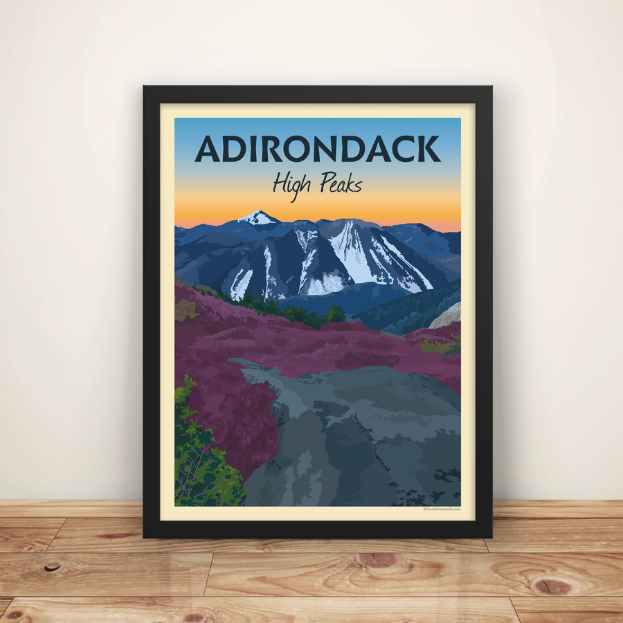


Ampersand Mountain
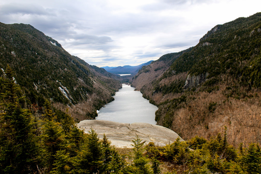
One of our favorites, Ampersand Mountain has a moderately strenuous trail to the summit, but it’s well worth it for the 360-degree view that awaits you at the top. Because the mountain sits apart from others of a similar elevation, it has a wide-sweeping view of the Saranac Lakes, the St. Regis Ponds, and the High Peaks off in the distance. Among the Saranac Lake 6er's it ranks #2 in total elevation.
Trail Stats:
Distance: 5.4 miles round-trip
Elevation: 3,352 ft
Ascent: 1,775 ft

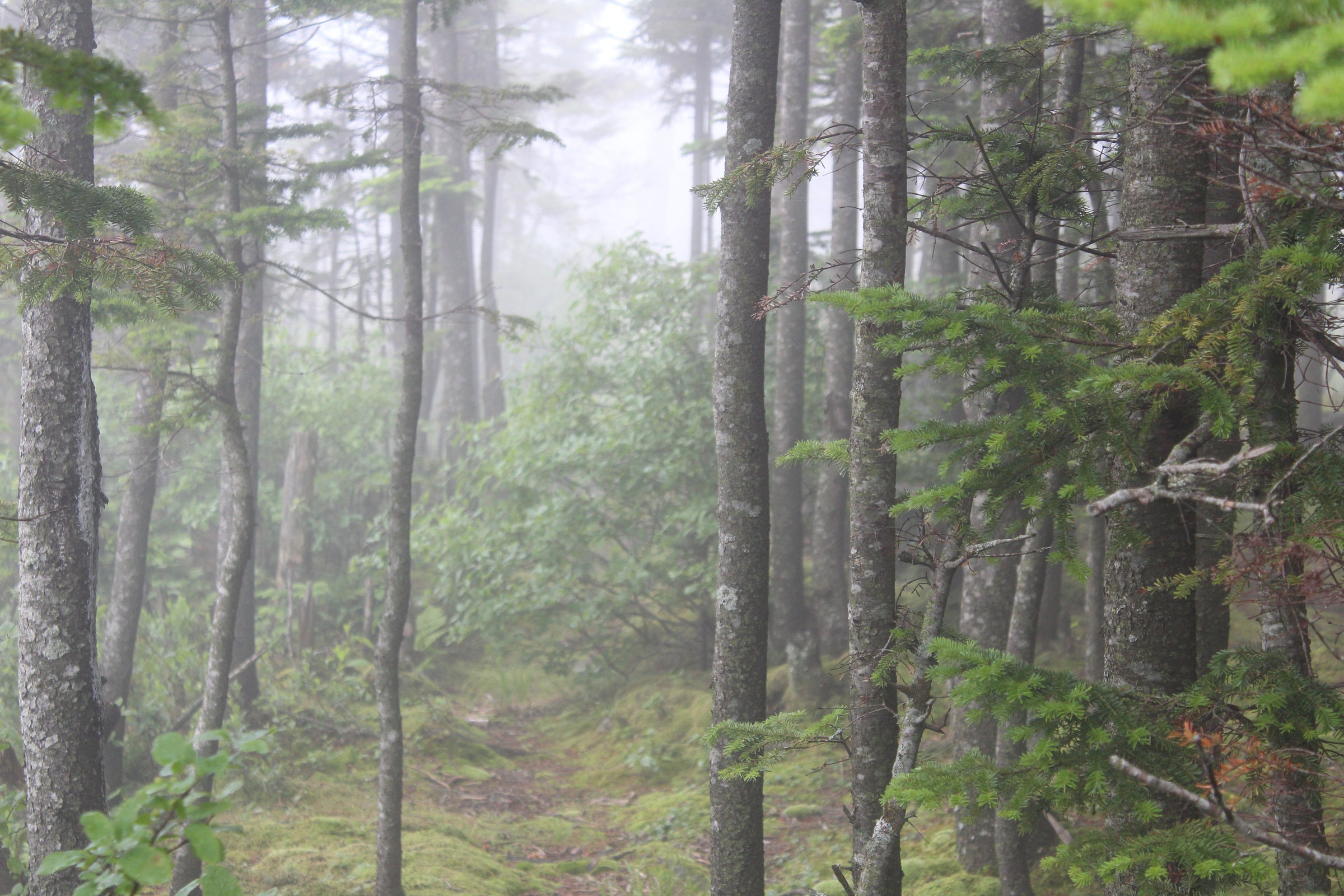
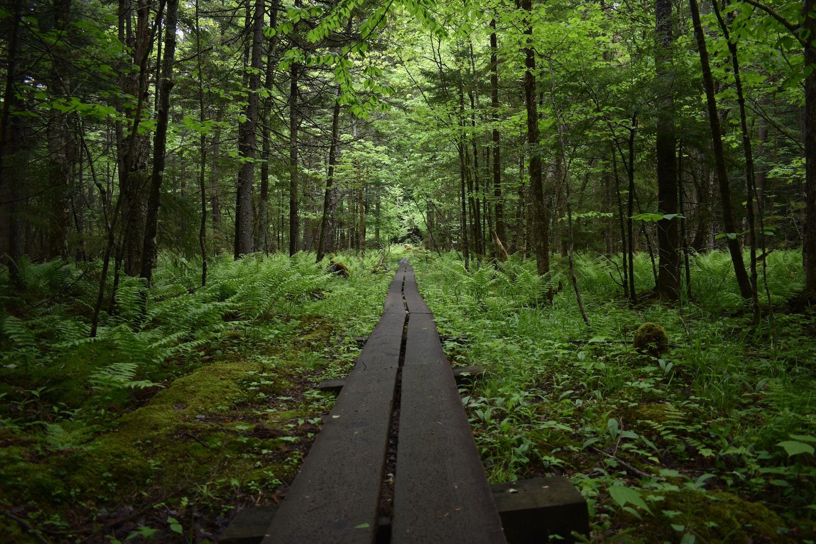
Hiking will begin flat and easy from the trailhead, cutting through an old growth forest with tall, canopying Hemlock trees for 1.2 miles before it begins climbing. At 1.7 miles you will reach a small clearing where the remnants of the foundation from an old observer’s cabin remain. From here you will follow a brook for a short distance before the trail begins climbing more steeply at 1.9 miles. The most challenging part of the climb is the following half-mile, as the trail is quite steep and eroded in some spots. At 2.4 miles the trail is more gradual and you emerge above the trees at 2.5 miles, climbing on the bare rock face for the rest of the way to the summit. If you pass beyond the “true” summit, you can see the spot of the old fire tower and nearby there is a plaque in memory of Walter Channing Rice, the “Hermit of Ampersand”. Once you have taken in the breathtaking view and returned down to your car, if you’re still game for more hiking, you can hike a short half mile from the parking area to Ampersand Beach on Middle Saranac Lake – a great post-hike swimming spot!
Trailhead:
📍 Google Directions // To access the trailhead from Tupper Lake, follow Route 3 as if you are headed to Saranac Lake, 3.5 miles after passing Bartlett Carry Rd on your left, the trailhead will be on your right, just across the street from a larger parking area. Coming from Saranac Lake, you will follow Route 3 out of town until you reach the parking area on your right and the trailhead on your left, approximately 7 miles from the intersection of Main St. and Route 3 in downtown Saranac Lake.